
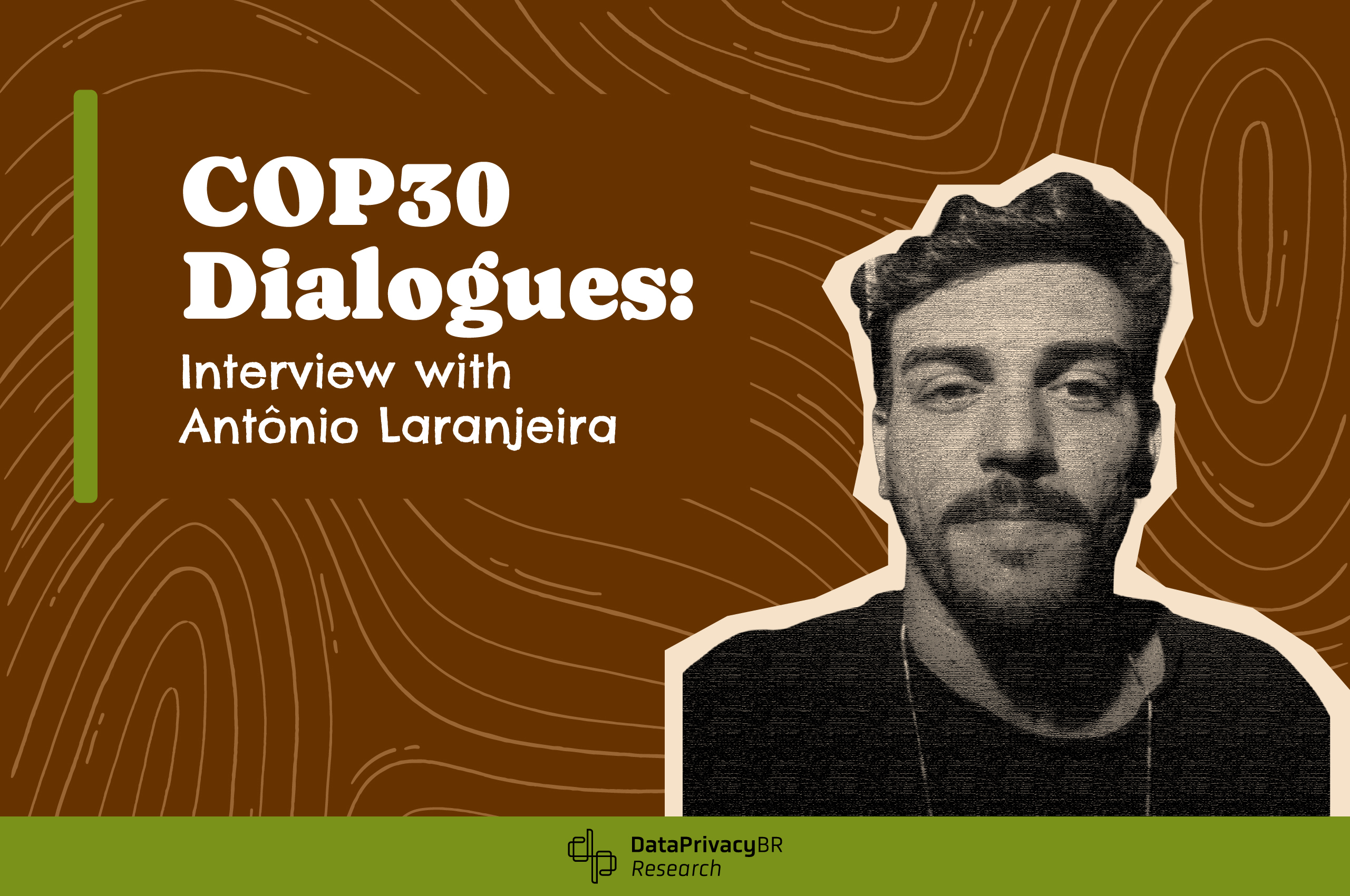
COP30 Dialogues: Interview with Antônio Laranjeira
In the second interview for our special series “COP30 Dialogues: Digital Rights and Climate Justice,” we spoke with Antônio Laranjeira, an award-winning journalist for investigative reporting on topics such as environmental loss and damage, science, and citizenship.
In the second interview for our special series “COP30 Dialogues: Digital Rights and Climate Justice,” we spoke with Antônio Laranjeira, an award-winning journalist for investigative reporting on topics such as environmental loss and damage, science, and citizenship. He also works on topics such as disinformation in politics and data transparency for social justice.
In the interview, we cover topics such as connectivity in peripheral territories, geotechnologies, and the use of data in Brazil.
Check out the full interview and stay tuned to our channels for future updates.
Data: What do you consider to be the main themes of interaction between digital rights and environmental rights?
Antônio: The relationship between digital rights and environmental rights is quite close; I address this directly in my research on online mapping platforms and collaborative mapping. The right to exist on the map, a physical address available on the web, and the freedom to edit maps are issues in which the environmental and digital worlds intertwine. I’d like to highlight three main points: 1) Sovereignty over territorial data: when a community decides to generate its own online map and dispute the narrative of a territory, filling digital platforms with its local knowledge; 2) Prevention of environmental loss and damage: when a group maps real problems to mitigate risks related to certain natural phenomena; 3) Visibility of cartographic gaps: when volunteer groups map areas previously considered empty, places where online maps previously offered no information coverage. In short, organized communities exercise their citizenship when they control what data is placed on the map, how these maps are validated, and under which usage licenses (copyright or creative commons) they are shared online in their entirety. These gestures have ensured greater equity in territorial representation on platforms like Google Maps and OpenStreetMap.
Data: How have you seen the main challenges in advancing discussions on digital and environmental rights?
Antônio: I identify three recurring challenges: 1) Connectivity in peripheral territories: although communities have web connections, many can only synchronize data sporadically due to a lack of reliable internet. This limitation in digital communication has also delayed deforestation reports and made the use of offline applications essential but insufficient. Without immediate synchronization, enforcement agencies receive information late, compromising environmental protection. 2) Validation of community mapping: government agencies often require an “official registry” or “approved methodology” to accept this information in licensing or demarcation processes. This imposes a bureaucratic barrier that discourages local initiatives, invalidating those who produce high-quality data without government support. It’s necessary to find a balance between these two perspectives, based on public policies that cooperate with the validation of maps produced by society. 3) Asymmetry between mapping platforms: While Google Maps tends to update areas of commercial and proprietary interest first, OpenStreetMap’s maps are updated when there is a collective mobilization of voluntary interest. In Rio de Janeiro’s favelas, for example, the map only incorporated critical data (drainage, escape routes, health centers) because residents and local volunteers organized collective efforts. These three challenges fuel discussions about digital inequality.
Date: In your opinion, will COP30 be a privileged space for these debates?
Antônio: Since COP29, the international community has been debating the use of collaborative technologies to achieve the Sustainable Development Goals (SDGs), but still without the direct involvement of the communities involved. For COP30, I believe we will have the opportunity to demand that local communities and funders engage in dialogue and value collaborative mapping efforts. These are urgent demands; otherwise, we will continue to talk about the climate without reliable data on the urban fabric, soil, water, air, and vegetation of each part of the Earth. Here, we are, in fact, discussing a global issue. Several debates on global warming have already been overcome, as have the limitations of open geospatial technologies. I believe this edition of the conference could be historic not because of the heated debates (already expected), but because of the effective decisions on funding for economic investment (much more anticipated) in technologies that ensure a sustainable future for the environment at every stage of a digital product or service and for all people on Earth. The planet cannot wait for COP31 for certain global commitments to be fulfilled.
Data: What are your expectations for COP30 regarding the movements taking place in civil society? Will it be a space more open to dialogue and more decisive?
Antônio: This year, the increased prominence of peripheral voices around the world, the more targeted dialogue with funding agencies, and new technical and financial commitments made will be three important developments to observe at COP30. This is justified not only because the event is taking place in Brazil but also because we are going through a “historical period” that demands a close look at the rights of marginalized peoples and territories condemned to the “end of the world.” Especially in the Amazon rainforest, this “end of the world” comes before the possibilities of “thinking another world.” This conference can catalyze a thought process with geotechnologies that not only inform but also transform our relationship with the Earth from the ecological perspective of each territory. The COP in Brazil, therefore, represents an important moment in the history of the conference; I would say, a turning point between consolidating dialogue with communities for “today” or returning to commitments for “tomorrow.”
Data: What types of agreements do you hope will occur?
Antônio: It’s difficult to be optimistic and objective in this answer, considering Brazil, the world’s leading environmental crime leader. I estimate that three agreements involving geoinformation, law, and the environment should be prioritized at COP30:
- Strengthening the OpenStreetMap Foundation: Aligned with the ordinances of Brazilian environmental agencies (such as Ibama, ICMBio, and Funai), the organization can actively monitor environmental compliance based on the highest standards of geospatial data integrity in the world today, listening to each local population through mobilization for mapping campaigns (both in the field and remotely).
- Creating regional geotechnology innovation institutes: data labs (dry labs) where developers and civil society organizations can collaborate to improve monitoring and surveillance networks (observatories and crisis rooms) comprised of diverse stakeholders (society, scientists, governments, and journalists).
- Prioritizing open-source licenses: Countries should invest in low-cost, highly scalable sensors based on popular and scientific knowledge from the Global South, an interregional alliance in current geopolitics. These decisions would formally underpin what communities are already doing in practice, translating digital rights into maps with open data for socio-environmental purposes and promoting impact through more effective, efficient, and efficient decision-making for those living in peripheral areas.
Data: And how have you seen the relationship between climate justice and digital technologies?
Antônio: From the interdisciplinary perspective I have developed in my research (between geography, computer science, and communications), climate justice and digital technologies converge in a materialized way when communities become sources of geospatial data, transforming geoinformation into evidence for political negotiation and a direct mechanism for socio-environmental protection. In this sense, we have two choices: mapping alongside human communities or mapping remotely on behalf of those who cannot map themselves. Regardless of the chosen procedure, producing one’s own map is an act of law and a gesture of justice, a means of self-defense and litigation for the territory and its inhabitants in legal and political disputes.
This contradicts the “imperative of centrality” governed by big tech companies that are at the “center of the causes” of climate change. Dialectically, the peripheries of the world’s largest cities are, by most accounts, at the “center of the effects.” Who will vote for the right to be on the map and make choices about the autonomous mapping process of their territory? This type of political and economic commitment is an “empty vote” outside the booths and corridors of COP30, a kind of “Red Zone,” so to speak. I believe that those who agree with me will be in the Yellow Zone, perhaps in the Green Zone, and unlikely to be in the Blue Zone at the next COP. It is necessary here to visualize the “COP30 floor plan” and understand that there are “credential boundaries”: not everyone can circulate in all areas, just as not everyone can have an opinion on the future of this esteemed global conference.
About Antonio Laranjeira
Antônio Heleno Caldas Laranjeira is a freelance journalist, award-winning for his investigative reporting on topics such as environmental loss and damage, science and citizenship, disinformation in politics, and data transparency for social justice. A data analyst with experience in think tanks and research and teaching institutes in Brazil, he has participated in innovation, science, and applied technology projects. He also works as a digital consultant, dedicated to tackling challenges related to innovation and disruption in networks and production chains, as well as developing impactful communication strategies for businesses of various sizes. He is a researcher and PhD candidate in Communication and Contemporary Cultures at the Federal University of Bahia (UFBA), holds a master’s degree in Communication and Society from the Federal University of Sergipe (UFS), and a degree in Journalism from the Federal University of Recôncavo da Bahia (UFRB).
About the series “COP30 Dialogues: Digital Rights and Climate Justice”
Data Privacy Brasil’s new special series aims to hear diverse voices on the interface between the climate agenda and digital rights. The new project comes in a unique year: the first United Nations Climate Change Conference (COP30) in Brazil, scheduled for November 10-21, 2025, in Belém, Pará. The interviews will be held within the Data’s “Asymmetries and Power” section and will feature a variety of experts on the topic.
Veja também
-
COP30, Data and Land Use: Discussing Agendas to Combat Land Grabbing
On November 12, 2025, Data Privacy Brasil held a roundtable discussion on data and land grabbing as part of the COP do Povo program, a parallel event to COP30, entitled "COP30, Data and Land Use: Discussing Agendas to Combat Land Grabbing,".
-
COP30: Why local communities must have access to environmental information in data center development
At COP30, Brazil speaks of reforestation and indigenous wisdom. But Bruno Bioni, Mariana Rielli, and Rafael Zanatta argue that the country’s generous tax incentives for data centers must be tied to the collective right of access to environmental information, or risk deepening the very injustices the climate summit seeks to undo.
-
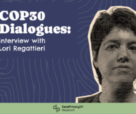
COP30 Dialogues: Interview with Lori Regattieri
Data Privacy Brasil launches the new interview series “COP30 Dialogues: digital Rights and Climate Justice,” aiming to hear diverse voices on the interface between the climate agenda and digital rights. The new project emerges in a unique year: the first United Nations Climate Change Conference (COP30) in Brazil.
-
Why public transparency on certain personal data is essential to guarantee environmental justice?
Between 2022 and 2023, Data Privacy Brasil developed the project Environment and Information: contesting the political instrumentalization of LGPD in Environmental Regulation which focuses on the intersection of digital rights and environmental policies.
-
Digital Public Infrastructures & Digital Public Goods for Combating Climate Change: The Brazil Case Study
Data Privacy Brasil, with the support of the Digital Public Goods Alliance (DPGA), launches a new report that aims to analyze the integration between Digital Public Infrastructure (DPI) and Digital Public Goods (DPGs) as tools to combat climate change.
-
Transparent monitoring for sustainability through DPIs
In this new publication, researchers Gabriela Vergili, Pedro Saliba from Data Privacy Brasil, Vinay Narayan and Soujanya Sridharan from Aapti Institute, discuss the “Transparent monitoring for sustainability through DPIs”.
-
Privacy, Public Transparency and Climate Change
How transparency and data protection can help environmental public policies in Brazil.
Veja Também
-
COP30, Data and Land Use: Discussing Agendas to Combat Land Grabbing
On November 12, 2025, Data Privacy Brasil held a roundtable discussion on data and land grabbing as part of the COP do Povo program, a parallel event to COP30, entitled "COP30, Data and Land Use: Discussing Agendas to Combat Land Grabbing,".
-
COP30 Dialogues: Interview with Lori Regattieri
Data Privacy Brasil launches the new interview series “COP30 Dialogues: digital Rights and Climate Justice,” aiming to hear diverse voices on the interface between the climate agenda and digital rights. The new project emerges in a unique year: the first United Nations Climate Change Conference (COP30) in Brazil.
-
Why public transparency on certain personal data is essential to guarantee environmental justice?
Between 2022 and 2023, Data Privacy Brasil developed the project Environment and Information: contesting the political instrumentalization of LGPD in Environmental Regulation which focuses on the intersection of digital rights and environmental policies.
-
Digital Public Infrastructures & Digital Public Goods for Combating Climate Change: The Brazil Case Study
Data Privacy Brasil, with the support of the Digital Public Goods Alliance (DPGA), launches a new report that aims to analyze the integration between Digital Public Infrastructure (DPI) and Digital Public Goods (DPGs) as tools to combat climate change.
-
Transparent monitoring for sustainability through DPIs
In this new publication, researchers Gabriela Vergili, Pedro Saliba from Data Privacy Brasil, Vinay Narayan and Soujanya Sridharan from Aapti Institute, discuss the “Transparent monitoring for sustainability through DPIs”.
-
Privacy, Public Transparency and Climate Change
How transparency and data protection can help environmental public policies in Brazil.
DataPrivacyBr Research | Content under licensing CC BY-SA 4.0